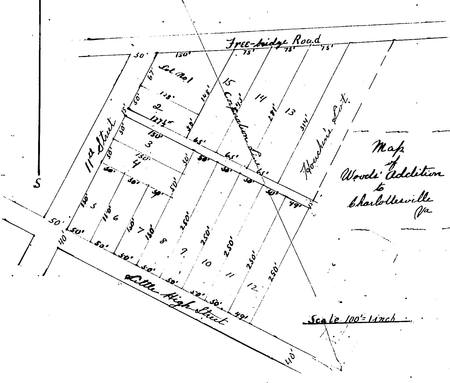
Click the map above for a larger version
Little High had been part of the Martha Jefferson neighborhood for many years but it formally became a separate and independent neighborhood association in 2016. Little High is .20 square miles located due east of the Downtown Mall and is bounded by East Water Street (by the Belmont Bridge) to Meade Ave at the railroad crossing; Meade Avenue from the railroad crossing to where it meets East High Street; East High Street to 9th Street NE; and 9th Street NE to (but not including) the Belmont Bridge where it goes off-road to East Water Street. The neighborhood is a good mix of single family residential homes, a large number of apartment and condominium buildings, and small locally owned businesses (including some very popular restaurants: Beer Run, La Michoacana, Holly’s Diner, The Pour Baker, ).
A Brief Neighborhood History
 The Little High neighborhood is one of Charlottesville’s smallest neighborhoods, comprising just .20 square miles (or about 128 acres) and about 1,050 residents. Little High is more or less centered around The Farm (aka Lewis Farm, or the Davis Farm), located at 1201 E. Jefferson St., an antebellum slave plantation originally built in the 1820s and completely intact and in use as a private residence today. The Farm originally included 1,020 acres (nearly 10x the size of our neighborhood today) that stretched east all the way down to the Rivanna River and upriver to the north. The house was built and the surrounding land was cleared and worked by enslaved persons. At present, we know a few bits of historical trivia such as the fact that Custer slept there, but we know very little about the more important stories of the enslaved people who built it and worked it and created the wealth.
The neighborhood association is determined to try to gather whatever true history is available about the enslaved people at the Farm and we’ve pestered a few professional historians to help guide us. Anyone with good historical research skills is more than welcome to help us pull together information about the place. Anyone who is willing to help should contact us right away.
Here are a few sources of historical information about the 19th and early 20th century history of The Farm and the neighborhood more generally:
- Roanoke Times, 9/18/95. Describes the critical role played by UVa Architects Michael Bednar and Susan Wilson in restoring the Farm starting in the early 1990s by which time it had been condemned as a fire hazard and unusable as a living space.
- Robert Strider, “The Lewis Farm”, Clio Feb. 20, 2017
- Mapping Cville (July 10, 2020) — local historian Jordy Yager shows that the “Woods Addition“ part of the neighborhood in the late 19th and early 20th centuries included formal racial covenants preventing the sale of property to African Americans.
- Virginia Department of Historical Resources: Lewis Farm (The Farm), last updated 10/11/25.
- Wikipedia entry for Lewis Farm (aka The Farm) — This Wikipedia entry is in serious need of editing (as of 8/27/26) as it continues to make no mention of slavery.
- Preliminary Information form for Historic Districts
Articles about more recent events involving the Little High Neighborhood:
- “Region 10 Prevails on Little High”, C-Ville, 11/7/06
- “Council Narrowly Approves Special Use Permit for East Jefferson Place,” Charlottesville Tomorrow, 7/6/17